US probes Army helicopter altitude data in fatal January crash with jet
By David Shepardson
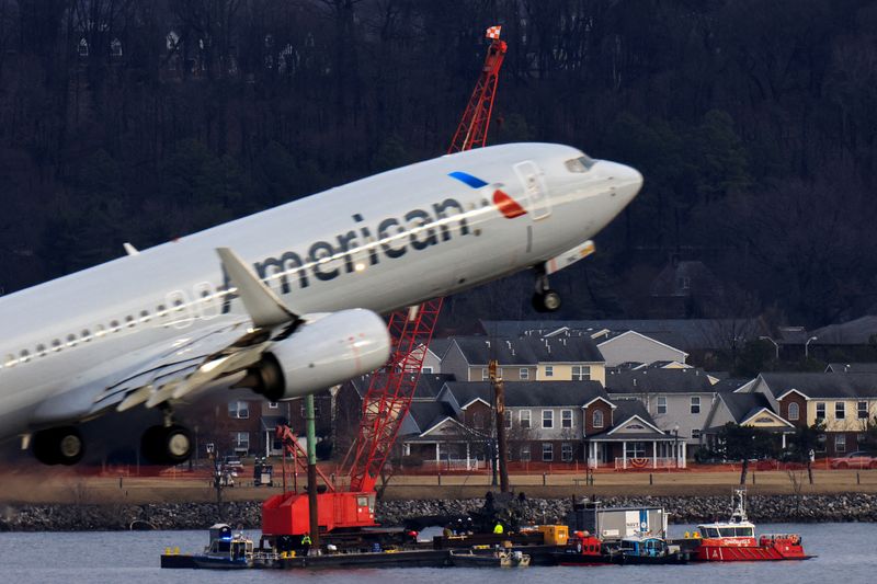
WASHINGTON (Reuters) -The National Transportation Safety Board said on Wednesday that testing showed faulty altitude data in U.S. Army helicopters like the one that collided with an American Airlines plane on January 29, killing 67 near Ronald Reagan Washington National Airport.
The NTSB investigative hearing is looking at the military aircraft’s air data systems and altimeters as well as the Federal Aviation Administration’s oversight of Washington airspace and air traffic.
The crash — a half-mile southeast of the airport over the Potomac River — was the deadliest U.S. air disaster in more than 20 years. Testing showed that Army helicopters in flight showed discrepancies of 80 to 130 feet versus actual altitude.
The NTSB played audio excerpts of communications between air traffic control towers during the minutes before the crash including a request by controllers to the American Airlines plane to shift to a different runway.
Previously, the NTSB said the helicopter’s altitude was higher than it should have been for the area at the time of the crash.
The maximum altitude for the route the helicopter was taking was 200 feet but the collision occurred at an altitude of around 300 feet.
The Black Hawk, which was on a nighttime training flight, had a crew of experienced pilots wearing night vision goggles.
In May, the FAA barred the Army from helicopter flights around the Pentagon after a May 1 close call that forced two civilian planes to abort landings. The FAA this week said the helicopter flights remained on hold even after the agency disclosed it had signed a new agreement with the Army on July 1.
(Reporting by David Shepardson; Editing by Chizu Nomiyama and David Gregorio)